Monday, October 31, 2005

Multiuse in Malakoff

Working with cooperative State Paks staff, BONC plans to re-work the Slaughterhouse Trail in Malakoff Diggins State Historic Park. This project will improve drainage on the trail, create a new section and open it to bicycles. Thanks to everyone who made this happen. Please stay tuned for a date for this trailwork.

Friday, October 21, 2005

Re-routing the Pioneer Trail

The USFS plans to re-route the Pioneer Trail from east of the Omega rest stop so that the entire trail remains on the south side of Highway 20. Thus, there would be no need to cross Highway 20 while using the trail.

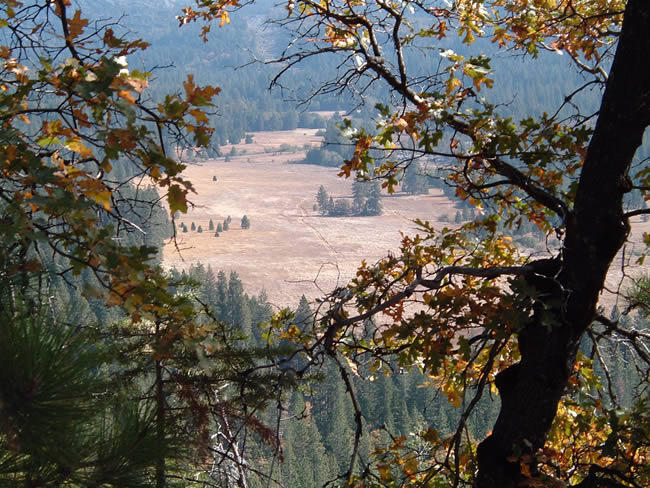
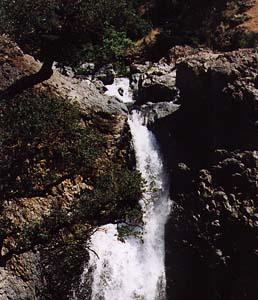
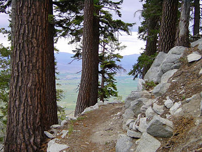
The picture to the left is a view of Bear Valley from the proposed trail route (thank you Willie Brusin). The project will take several years to complete. BONC and GCTC plan to cooperate on the project with the Forest Service.

Thursday, October 20, 2005

Exceptional Volunteers

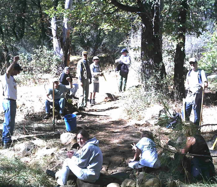
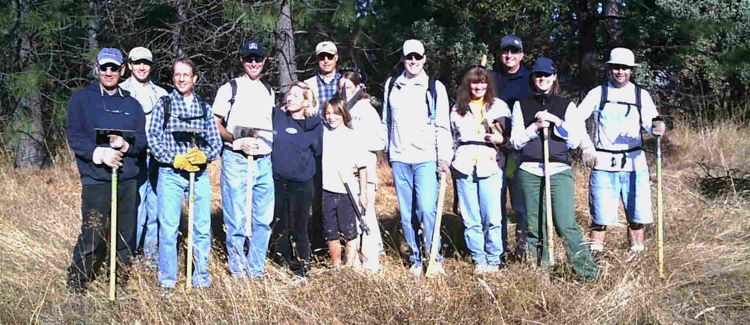
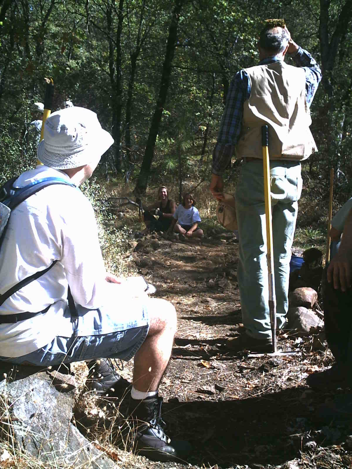
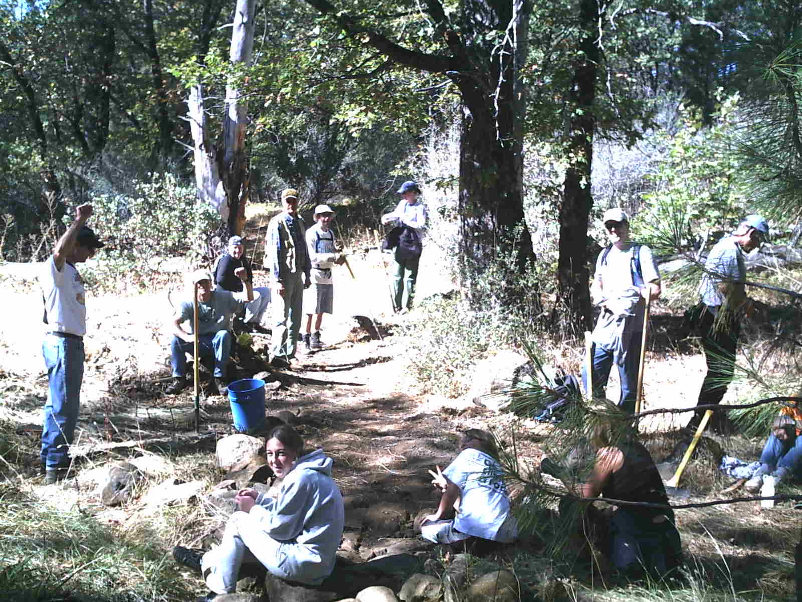
15 BONCers showed up to improve trails on Round Mountain on October 16th. This outstanding effort was just the beginning of our plans to improve the environmental sustainability of trails in the area.

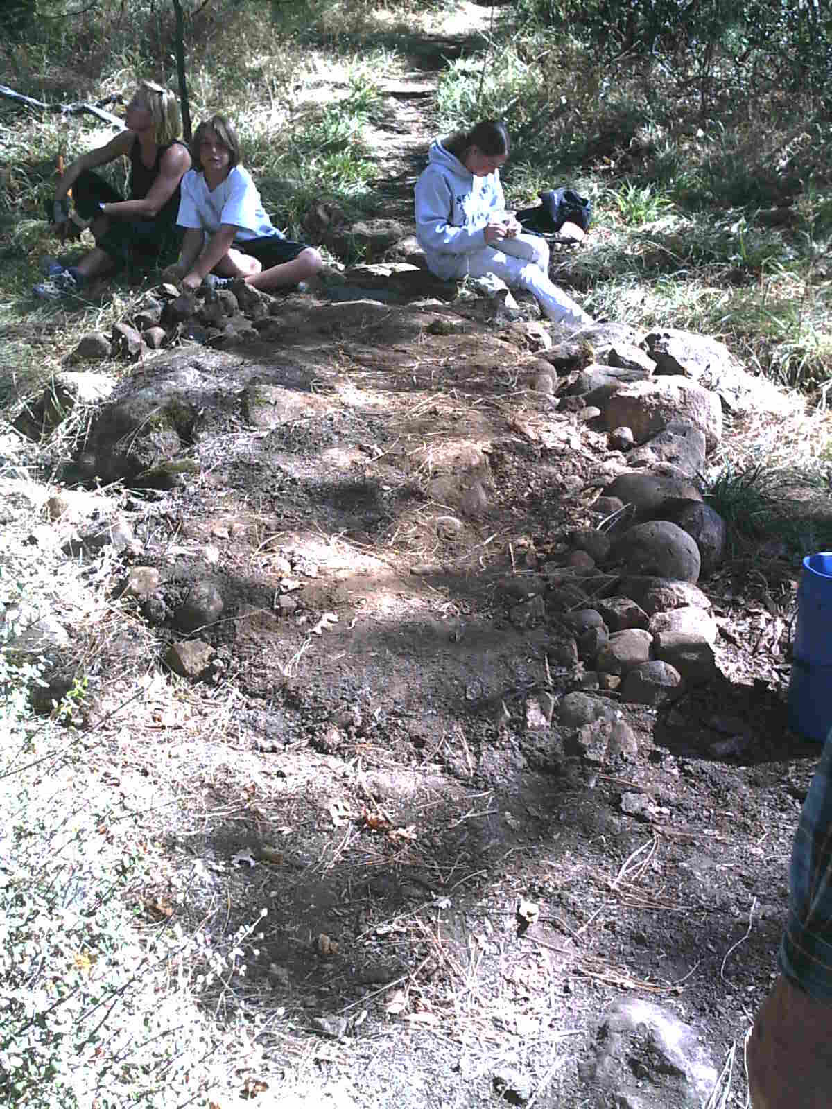
More pictures: 1 2 3 4 5 6 7


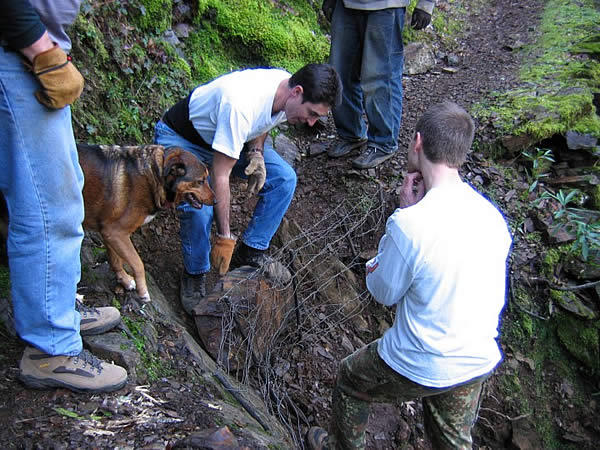
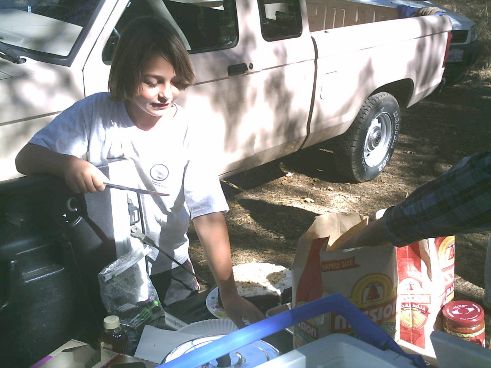
Highlights included: installing drains on the Flume Trail, elevating the Flume Trail at a water crossing, beer, PB&J and Jimmy's home made cake. Hope you can join us next time!

Tuesday, October 11, 2005

Round Mountain Trailwork

A reminder that there will be a BONC-led trailwork day on Round Mountain on October 16th. This is a very special event, as it represents the first time BONC has been able to work on BLM properties on Round Mountain itself. Come help us celebrate this progress by joining this event:

WHAT: Trailwork at various locations on Round Mountain TBA
WHEN: Sunday, October 16th, 9AM
WHERE: Meet at the USFS Ranger Station in Nevada City

Please bring long sleeves, water, gloves etc.

Tuesday, September 27, 2005

Spenceville Input Needed

Please attend the upcoming public meeting in Nevada City at 6PM on Wednesday, September 28th at City Council Chambers, Nevada City Hall, 318 Broad Street.

Come and make comments, provide input about multiple use trails and let the agency know how you feel. Find out more.

Thursday, September 15, 2005

South Yuba Imagery

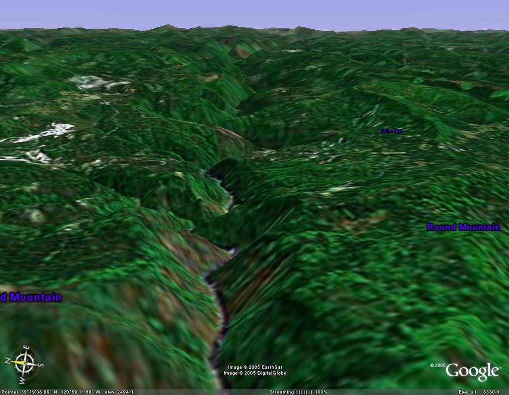
I work for Google on the Google Earth product. This tool is a fascinating system that allows you to render 3D imagery of the Earth's surface via satellite imagery. This image is of the South Yuba Canyon looking east from near Round Mountain. Click the picture to view a full size version of the image. Soon I will publish GPS-based imagery of trails in our area.
Letters needed: Spenceville Trails

Spenceville Wildlife Area will soon have a new management plan and it is up to you to help promote multiple use trails as part of that plan. For more information, visit the BONC website.


Welcome to Gold Country Trails. This blog is dedicated to those folks who use and support trails in Nevada, Placer and Sierra Counties in Northern California. This blog should not be confused with the excellent Gold Country Trails Council.

Trails in our area include the South Yuba, Tahoe Rim, Pioneer and Auburn area trails. Many of these trails are within the Tahoe National Forest, but many others are on BLM, State Parks or undeveloped lands.

My hope is that this blog will become a valuable resource for those who hope to support, create, build and improve trails in our area. This includes all kinds of non-motorized trail users (hikers, equestrians, bicyclists alike).